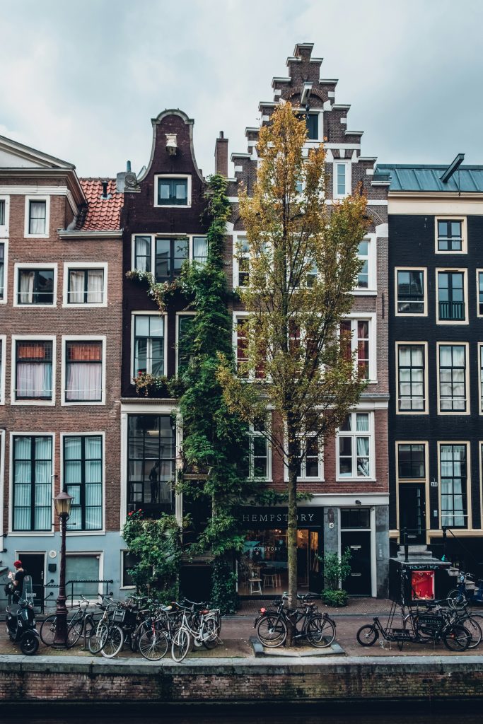
Data-led cultural mapping in Amsterdam
Project: Mapping cultural infrastructure and creative workspaces for place-based investment
Over the past decade, rapid population growth in Amsterdam has placed increasing pressure on the city’s existing cultural infrastructure. Cultural facilities were unevenly distributed—particularly in the districts of Nieuw-West, Noord, and Zuidoost—while affordable creative workspaces were becoming increasingly scarce. In response, the City of Amsterdam launched a comprehensive mapping and analysis project to guide cultural policy and investment.
Mapping cultural infrastructure for evidence-based policy
Recognising the need for accurate data to support strategic decisions, the Arts and Culture Department of the City of Amsterdam initiated a city-wide assessment of cultural facilities. This process involved both desk research and stakeholder engagement, resulting in a detailed database encompassing subsidised and non-subsidised cultural spaces across the city.
The database feeds into an interactive map and dashboard tool that provides real-time visualisations of where various types of cultural facilities are located. Users can filter by function, district, and space type, or drill down into custom analyses by interacting with the dashboard’s graphs and visual elements. This digital infrastructure has become a cornerstone of Amsterdam’s cultural policy toolkit.

Identifying district-specific needs
The analysis revealed key disparities between districts. By comparing cultural facility availability in terms of square meters per inhabitant, the city was able to identify specific gaps and strengths in each area’s cultural infrastructure.
For instance, Nieuw-West had a relatively high concentration of creative workspaces (0.32 m² per inhabitant, above the city average of 0.30), but lacked sufficient exhibition and performance venues. Zuidoost hosted two large music venues but had few small-scale cultural spaces and creative hubs. Noord, by contrast, had numerous mid-sized facilities for music, film, and nightlife, yet lacked spaces for theatre and cultural heritage programming.
This granular, district-level analysis allowed policymakers to better understand how demographic and spatial dynamics shape cultural access across the city. It also highlighted where new investments would have the greatest impact.
Cultural policy in action: from insight to implementation
The insights from this mapping project have directly informed Amsterdam’s cultural policy and planning. It provides the basis for tailored cultural development strategies for each district, addressing both infrastructure gaps and community needs.
In Nieuw-West, for example, the identified lack of music venues has led to the vision for a new “music street.” This concept integrates a music school, rehearsal spaces, and venues for local musicians and community events, addressing both artistic and social development goals. Similar evidence-based initiatives are planned for other districts, ensuring a more equitable cultural ecosystem throughout the city.
These interventions not only promote cultural participation and inclusion but also reinforce Amsterdam’s identity as a city committed to accessible, community-rooted culture. By aligning infrastructure planning with cultural policy, the City is positioning itself as a leader in cultural governance and urban innovation.
A model for place-based data-led cultural policy
Amsterdam’s mapping project demonstrates how data-driven planning can serve as a model for cities facing uneven cultural development. Through thoughtful investment in cultural infrastructure and support for creative workspaces, the city is creating a more resilient, inclusive, and vibrant cultural future.